 terravel
Terravel · Places · South America
Peru · South America
Cordillera Blanca

What is Cordillera Blanca, and where is it?
The Cordillera Blanca is a 124-mile spine of granite peaks in Peru's Ancash region, part of the western Andes. It stretches northwest between latitudes 8°08' and 9°58' south, crowned by Huascarán at 6,768 metres—Peru's highest mountain—and studded with 722 glaciers that supply water to northern Peru.
Location and Continental Divide
The Cordillera Blanca runs for 200 kilometres in a northwesterly direction through Peru's Ancash region, positioned between 77°00' and 77°52' west longitude. The range lies parallel to the Santa River valley on its western flank, a geography that has shaped settlement and water management for centuries. The cordillera acts as a continental divide: the Santa River drains westward to the Pacific Ocean, while the Marañón River on the eastern side flows toward the Atlantic.
Huascarán National Park, established in 1975, encompasses almost the entire range. The park protects a landscape where over a dozen peaks exceed 6,000 metres elevation. Access points include the towns of Yungay, Caraz, and Huaraz, the regional capital, which sits at the range's base and serves as the primary gateway for visitors and researchers.
Glacial Landscape and Ice Retreat
The Cordillera Blanca holds the largest concentration of ice in Peru and ranks as the most extensive tropical ice-covered mountain range in the world. Until the 1990s, 722 individual glaciers covered approximately 723 square kilometres, with 91 percent classified as mountain glaciers—short, steep formations typical of high-altitude terrain. The western slopes held 530 glaciers across 507.5 square kilometres, while the eastern side contained 192 glaciers covering 215.9 square kilometres.
Satellite imagery reveals significant glacier retreat. Between the 1970s and 2006, permanent ice cover shrank by roughly one-third. By 2003, only 485 glaciers remained, covering 569.6 square kilometres. This retreat reflects broader climate patterns affecting Andean ice fields throughout the twentieth century. The glaciers descend from high passes into valleys where indigenous communities depend on snowmelt for water year-round.
Huascarán and Sacred Significance
Huascarán rises to 6,768 metres above sea level, making it Peru's highest mountain. The peak's name derives from Quechua, the language of the Inca, and the mountain holds sacred significance in Andean cosmology as a protective apacheta—a spiritual guardian of the high peaks. Two survey measurements exist for the summit: the Peruvian National Geographic Institute records 6,746 metres, while the Austrian Alpine Club survey map lists 6,768 metres.
The mountain commands the cordillera's glacial system and dominates the landscape visually from the surrounding valleys. Huascarán Sur represents the highest point, though the range contains several other peaks exceeding 6,000 metres with significant topographic prominence. These summits scrape the thin air where few humans venture, their slopes carved by ancient ice into dramatic formations.
Lakes and Hydrological Importance
The Cordillera Blanca contains numerous glacial lakes that reflect the range's ice-fed hydrology. The Llanganuco Lakes sit on Huascarán's northern side and are accessible from Yungay. Lake Parón, the largest lake in the cordillera, lies just north of Huandoy and can be reached from Caraz. Lakes Ichiccocha and Jatuncocha near Artesonraju and Alpamayo require trekking or horseback travel from Caraz. Other notable lakes include Lake 69, Lake Allicocha, Lake Auquiscocha, Lake Palcacocha, Lake Querococha, and Lake Conococha.
Snowmelt from the cordillera provides part of northern Peru with year-round water supply. The Santa River valley harnesses this resource for a hydroelectric plant that generates approximately 5 percent of Peru's power. Hot springs at Monterrey and Chancos, located 7 and 27 kilometres from Huaraz respectively, have been developed into thermal bath facilities, indicating geothermal activity in the region.
Flora, Fauna, and Ecological Zones
Plant communities in the Cordillera Blanca reflect adaptation to intense solar radiation, low temperatures, and limited water availability. Inter-Andean valleys support xerophytic plants at lower elevations and shrubs and grassland at higher elevations. High-altitude zones contain Puna grasslands and patches of high Andean forest. Most plant species display pubescent leaves—a protective adaptation against water loss and temperature extremes. Typical vegetation includes Polylepis racemosa, Escallonia resinosa, Puya raimondii, and various Festuca and Calamagrostis species.
More than 120 bird species inhabit Huascarán National Park, including the Andean condor, torrent duck, puna tinamou, brown pintail, Andean crested duck, white-tufted grebe, giant coot, and Andean gull. Mammals recorded in the area include the colocolo, Andean mountain cat, spectacled bear, taruca deer, vicuña, white-tailed deer, puma, northern viscacha, long-tailed weasel, hog-nosed skunk, and Andean fox. The dry season from May through September, with June and July offering the most stable weather, influences wildlife activity and vegetation cycles.
Where is Cordillera Blanca?
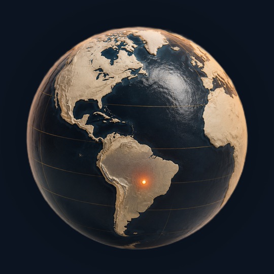
Cordillera Blanca is in Peru, South America, at 9.25°S, 77.53°W. The closest places in the Terravel atlas are Machu Picchu (697 km), Sacred Valley (748 km) and Colca Canyon (923 km).
Photos of Cordillera Blanca

Photo: MrBasically · CC BY-SA 4.0

Photo: Inti Runa Viajero · CC BY 2.0

Photo: Carlo Brescia · CC BY-SA 4.0
Cordillera Blanca at a glance
Questions about Cordillera Blanca
How many glaciers does the Cordillera Blanca have?
Until the 1990s, 722 individual glaciers were recognized in the range. By 2003, satellite imagery showed only 485 glaciers remained. The retreat reflects global climate change affecting Andean ice fields throughout the twentieth century, with over 15 percent retreat documented since the 1970s.
What is the dry season in the Cordillera Blanca?
The dry season extends from May through September, with June and July offering the least rain and most stable weather. This information comes from climate data recorded at Musho village, located at 3,084 metres elevation at Huascarán's foot.
Which rivers drain from the Cordillera Blanca?
The Santa River drains the western slopes toward the Pacific Ocean, while the Marañón River drains the eastern slopes toward the Atlantic Ocean. The cordillera functions as a continental divide between these two major drainage systems.
What percentage of Peru's power comes from the Cordillera Blanca region?
Approximately 5 percent of Peru's electricity is generated by a hydroelectric plant located in the Santa River valley, which is fed by snowmelt from the cordillera's glaciers.
What bird species are found in Huascarán National Park?
More than 120 bird species have been reported, including the Andean condor, torrent duck, puna tinamou, brown pintail, Andean crested duck, white-tufted grebe, giant coot, and Andean gull. The range's elevation and ecological zones support diverse avian populations.
Sources and further reading
This article was written from the reference material below, retrieved and reviewed for source alignment on September 13, 2026. Use official local sources for changing access or travel information.
About this page. Terravel combines its curated place catalog with credited photography and geographic reference data. Practical travel details can change; use the linked destination guide and official local sources when planning a trip. Send a correction.
Test yourself
Which South American mountain range contains over 700 glaciers feeding valleys where indigenous communities have depended on glacial water for millennia?
The Cordillera Blanca in Peru is distinctive for its exceptional concentration of 722 glaciers across its peaks, particularly around Huascarán, which supply water to indigenous communities in the valleys below—a defining characteristic not shared by the other options.
Can you place today's?
Cordillera Blanca is one of 266 places in Terravel. A new one every morning.


